Heimdall: Real-Time Satellite Tracking for a Crowded Space
By 2030, over 100,000 satellites will orbit Earth—up from just 3,000 in 2020. Space is becoming a chaotic environment, with millions of debris fragments threatening critical infrastructure. Enter Heimdall, a revolutionary satellite telemetry platform that gives users real-time visibility into Earth’s orbital traffic. This article explores how Heimdall tackles the growing space congestion problem and why it’s a game-changer for satellite operators and space enthusiasts alike.
Why Real-Time Satellite Tracking Matters
Space isn’t the empty void we imagine. It’s a crowded highway where satellites, rockets, and debris hurtle at 17,500 mph. Without proper tracking, collisions become inevitable. The European Space Agency estimates there are 34,000 debris fragments larger than 10 cm in orbit—each capable of destroying satellites or endangering astronauts.
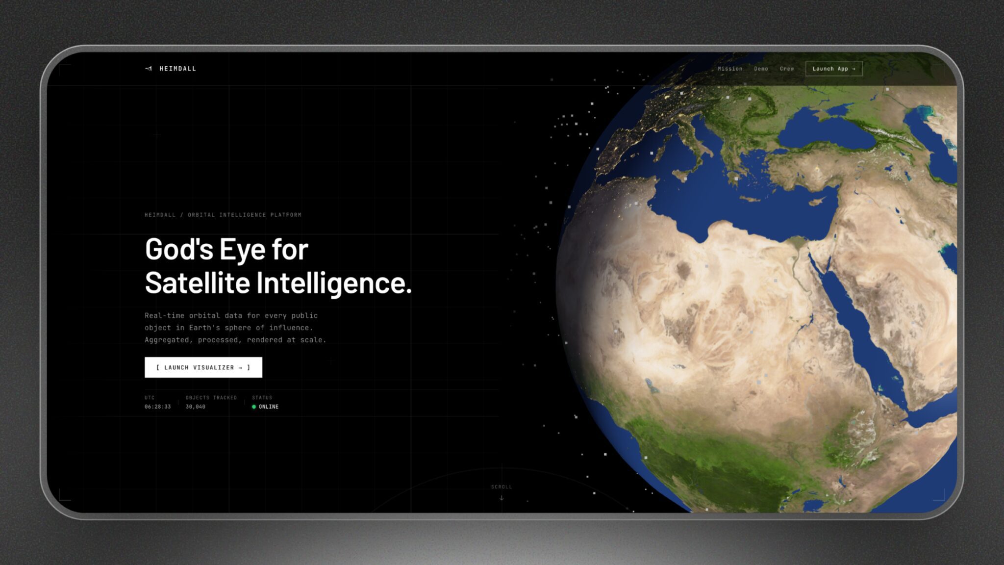
Heimdall addresses this crisis by aggregating public satellite data and rendering it in real time. Its platform processes telemetry from trusted sources to create a comprehensive view of Earth’s orbital environment. For operators, this means proactive risk management; for researchers, it’s a window into space traffic patterns.
Heimdall’s Core Features
1. Real-Time Position Tracking
Using Two-Line Element (TLE) data, Heimdall updates satellite positions every few seconds. This precision helps operators avoid collisions and optimize satellite maneuvers. The platform visualizes orbits in 3D, showing predicted paths and current locations.
2. Comprehensive Satellite Database
Heimdall aggregates data from multiple public sources, including NASA, ESA, and commercial providers. Users can search by satellite name, owner, or orbital parameters. This centralized database eliminates the need to juggle fragmented data sources.
3. Interactive 3D Visualization
The platform’s 3D map lets users rotate Earth, zoom into specific regions, and filter objects by type. For example, you can isolate Starlink satellites or track debris from past missions. This intuitive interface makes complex orbital data accessible to non-experts.
How Heimdall Stands Out
While tools like Satcat and RealmTrack offer similar services, Heimdall’s open-source approach and developer-friendly API set it apart. The team prioritizes transparency, inviting users to contribute feedback and shape the roadmap.
Kevin Wong, a founding engineer, explains: “We’re building this in the open. Your input directly influences our features. Whether it’s adding satellite photos or improving path prediction, we want to hear from you.”
Use Cases for Real-Time Satellite Tracking
- Collision Avoidance: Operators use Heimdall to plan maneuvers and avoid debris.
- Research & Education: Students and scientists analyze orbital patterns and space weather effects.
- Regulatory Compliance: Governments monitor satellite activity to enforce space laws.
- Public Engagement: Space enthusiasts explore the “night sky” from their browsers.
Challenges and Future Plans
Heimdall faces two major hurdles: data accuracy and scalability. While TLE data is reliable, it’s not perfect. The team is working on integrating machine learning to refine predictions. They also plan to add:
- High-resolution satellite imagery
- Debris risk assessments
- Customizable alerts for operators
“We’re just laying the foundation,” says Bruce Li, another team member. “The goal is to become the Flightradar24 of space—a tool everyone uses to monitor orbital traffic.”
Why Heimdall Matters for the Future
As space becomes more commercialized, tracking capabilities will determine who thrives and who fails. Heimdall’s open platform democratizes access to critical data, empowering startups, researchers, and governments to navigate the orbital frontier safely.
With 80 followers on Product Hunt and growing interest from the space community, Heimdall is poised to become a cornerstone of space traffic management. The question isn’t whether we need this tool—it’s whether we can afford to wait for it.
FAQs
1. What is real-time satellite tracking used for?
Real-time tracking helps prevent collisions, optimize satellite operations, and monitor space debris. It’s essential for operators managing constellations like Starlink or government satellites.
2. How accurate is Heimdall’s data?
Heimdall uses publicly available TLE data, which is generally accurate but has inherent limitations. The team is exploring machine learning to improve prediction accuracy.
3. Can I contribute to Heimdall’s development?
Absolutely! The team encourages user feedback and open-source contributions. Visit their website to join the conversation.
4. Is Heimdall free to use?
Yes, the core platform is free. Advanced features for enterprise users may require a subscription in the future.
5. How does Heimdall visualize satellite paths?
Using 3D rendering and TLE data, Heimdall shows real-time positions and predicted trajectories. Users can customize views to focus on specific satellites or regions.
Ready to explore Earth’s orbital traffic? Visit Heimdall and join the mission to make space safer for everyone.